The primary satellites that produce data used by WisconsinView include:
- Landsat Next (USGS Mission page launch: ~2030)
- Landsat 9
- Landsat 8
- Landsat 7 (End of Nominal Mission April 6, 2022, Extended May 5, 2022)
- Landsat 4 and 5 (End of Life 2001 and 2013)
- Sentinel-2
- Sentinel-3
- Suomi-NPP (End of Life ~Oct 2026)
- JPSS-1/NOAA-20
- JPSS-2/NOAA-21
- Aqua (End of Life 9/30/2023)
- Terra (End of Life 9/30/2023)
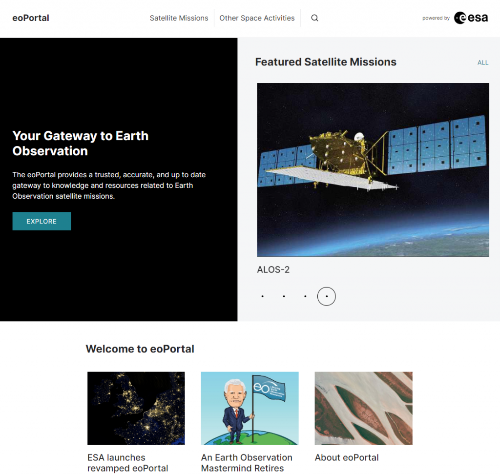
The eoPortal website embedded below offers a nearly comprehensive list of satellites with special attention to Earth Observing platforms. (Open in a new page.)
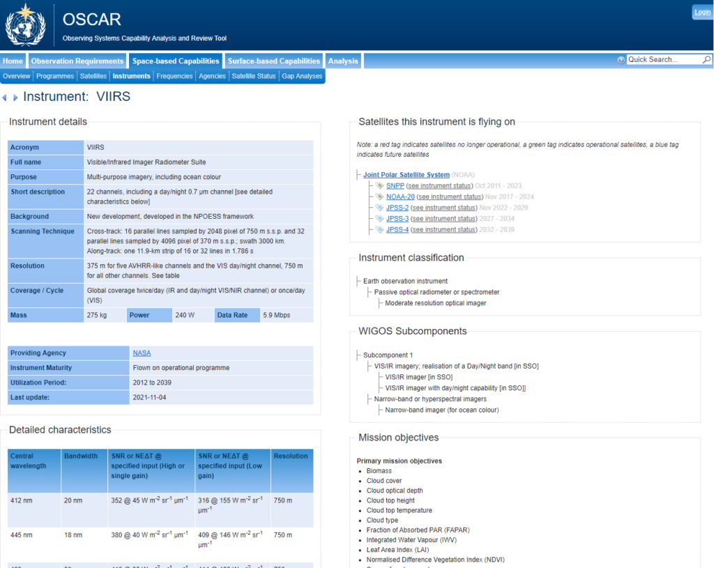
The WMO (World Meteorological Organization) is another source of information about satellites. Try their “OSCAR” (Observing Systems Capability Analysis and Review) tool.